Delhi Government Eyes Innovative Yamuna Floodwater Diversion Plan to Reduce Risk and Boost Groundwater
Strategic use of Bhatti Mines pits and floodplains under consideration after past flood crisis
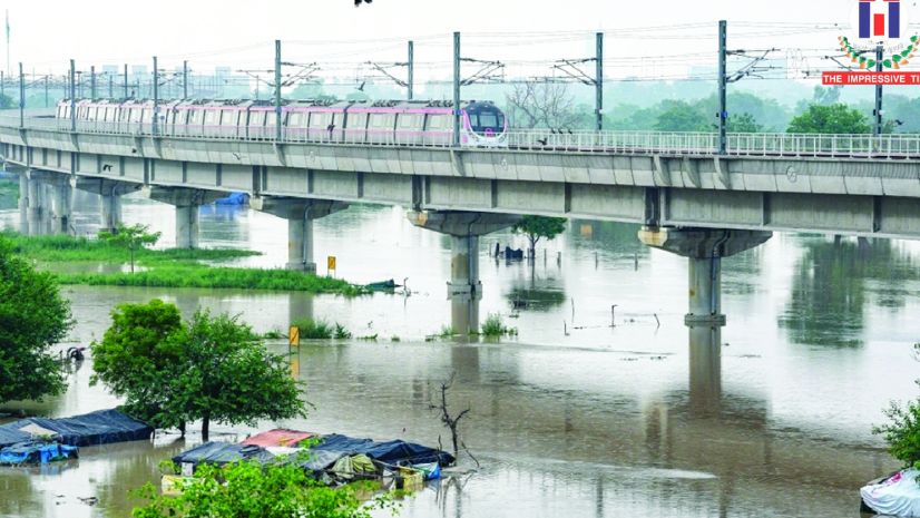
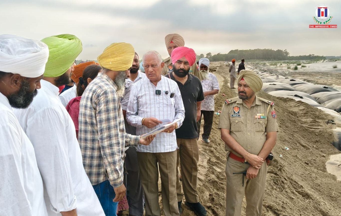
New Delhi, April 10, 2026:In a fresh effort to tackle recurring flood threats, the Delhi government is working on a plan to channel excess monsoon water from the Yamuna River into abandoned mining pits at Bhatti Mines and select floodplain zones. The initiative aims to ease pressure during peak flow periods while also improving groundwater recharge across the city.
The proposal has emerged in the aftermath of the devastating floods witnessed in 2023, prompting authorities to explore long term flood management solutions. Officials from the irrigation and flood control department have identified 15 mining pits formed during quarrying activities between the 1960s and 1990s. These pits are estimated to collectively hold around 5.2 million cubic metres of water per day, offering significant storage potential during heavy rainfall.
Alongside the mining pits, six locations across the Yamuna floodplains have also been shortlisted for temporary water storage. These sites together can accommodate more than 13.7 million cubic metres of water, providing an additional buffer during high discharge periods.
Authorities noted that while countries like Japan have adopted underground floodwater storage systems, such solutions may not be practical for Delhi due to high costs and the heavy silt load carried by the Yamuna during monsoons. Instead, natural and existing depressions such as mines and floodplains are being considered more feasible alternatives.
The Bhatti Mines area, located near Asola and Chhatarpur, was once a major source of construction material for the capital. Over time, the abandoned pits have evolved into water bodies and now fall within the eco sensitive Asola Bhatti Wildlife Sanctuary, where ecological restoration is ongoing.
A preliminary assessment by the Central Ground Water Board highlighted the potential of these pits for groundwater recharge. According to the findings, surplus monsoon water could be directed into the pits for nearly two months each year, significantly improving underground water reserves. The geological composition of the area, primarily quartzite formations, supports efficient recharge, with past experiments in nearby regions showing high success rates.
However, officials have stressed that only clean water should be used for this purpose. Due to the fractured rock structure, there is a risk of groundwater contamination if polluted water enters the system. The plan also recommends removal of accumulated silt and installation of monitoring systems to ensure water quality.
In addition, specific floodplain zones along the Yamuna have been mapped for shallow water storage. These include areas near Bawana, Wazirabad, Sabapur, and Mayur Vihar. While these locations may not fully contain extreme flood surges, they are expected to provide critical time for response and reduce immediate overflow risks.


No Comments: